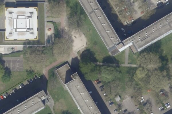
Aerial photo of the Netherlands - 8cm pixel resolution
The Image Material partnership is making aerial photos of the Netherlands available as open data. From 2016, aerial photos with a resolution of 25cm are already being made available as open data. From 2021, so will aerial photos with a resolution of 8cm. An orthophoto is a photograph that is geometrically corrected in X,Y and Z.
CC BY 4.0 The content of this page is licensed under a Creative Commons Attribution 4.0 license.
Above: 8 cm aerial photograph actual ortho RGB
Above: aerial photo with BAG, Premises, Berth, Residence and Residence
Above: TOP 10 NL
Above: 25 cm aerial photo actual ortho RGB