At Luchtfoto.nl, you'll discover the power of aerial photography and advanced archival research. Our extensive online archive database provides insight into historical collections and missions, allowing you to uncover valuable context. From risk assessments to creative applications, we connect you with essential data and innovative solutions.
With our data and services, you can:
▪︎ Perform verification of historical aerial photographs and maps
▪︎ Assess risks from unexploded ordnance
▪︎ Identify potentially contaminated soil
▪︎ Support policy planning
▪︎ Understanding disputes over property or international boundaries
▪︎ Analyze the legacy of land use
▪︎ Assess land use and changes in it
▪︎ Conduct climate change research
▪︎ Contribute to animation, multimedia and the creative industries
▪︎ Explore cultural history
▪︎ Develop 3D applications
▪︎ Perform risk assessment for insurance purposes
Discover the versatility of aerial photography at Luchtfoto.nl and let our data enhance your project.
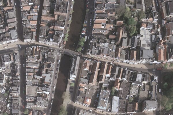
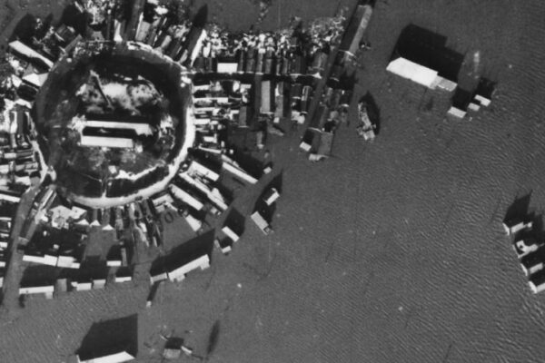
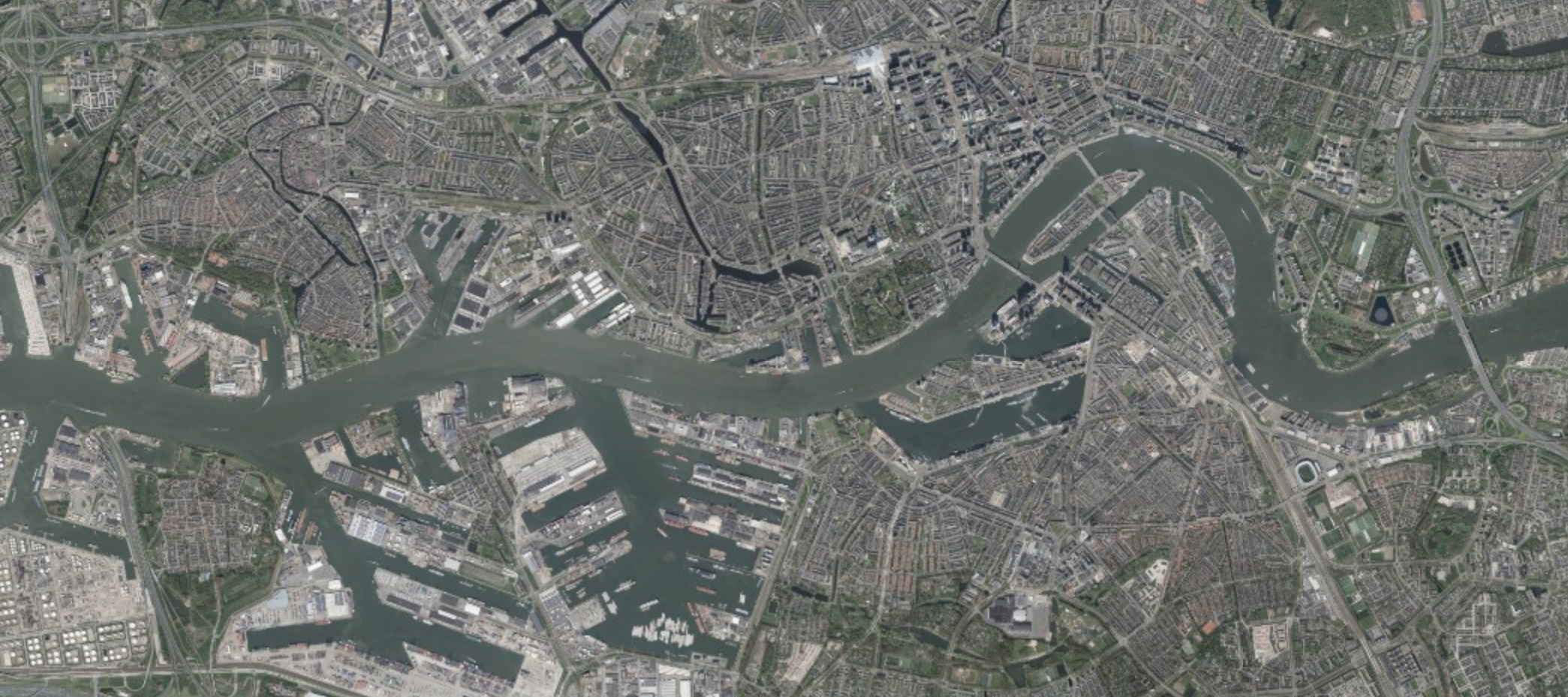
Explore 200 years of Dutch history from the air with our unique aerial photos and maps.
Search the aerial image database
More than 500,000 digitized aerial photos and maps
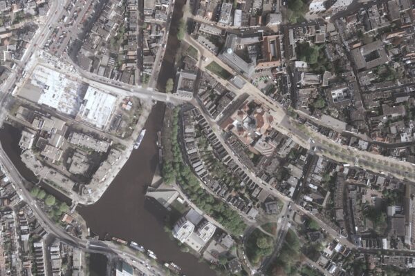
Access to Unique Perspectives
Ordering aerial photos and maps
Welcome to Luchtfoto.nl
Specific needs or questions about our services?
Call directly or contact us through our contact page.
Contact